simonepri / geo-maps
- четверг, 23 ноября 2017 г. в 03:14:02
🗺 High Quality GeoJSON maps programmatically generated.


The only GeoJSON maps of the world you will ever need!
Click on the images below to see some live examples of maps generated by this project.
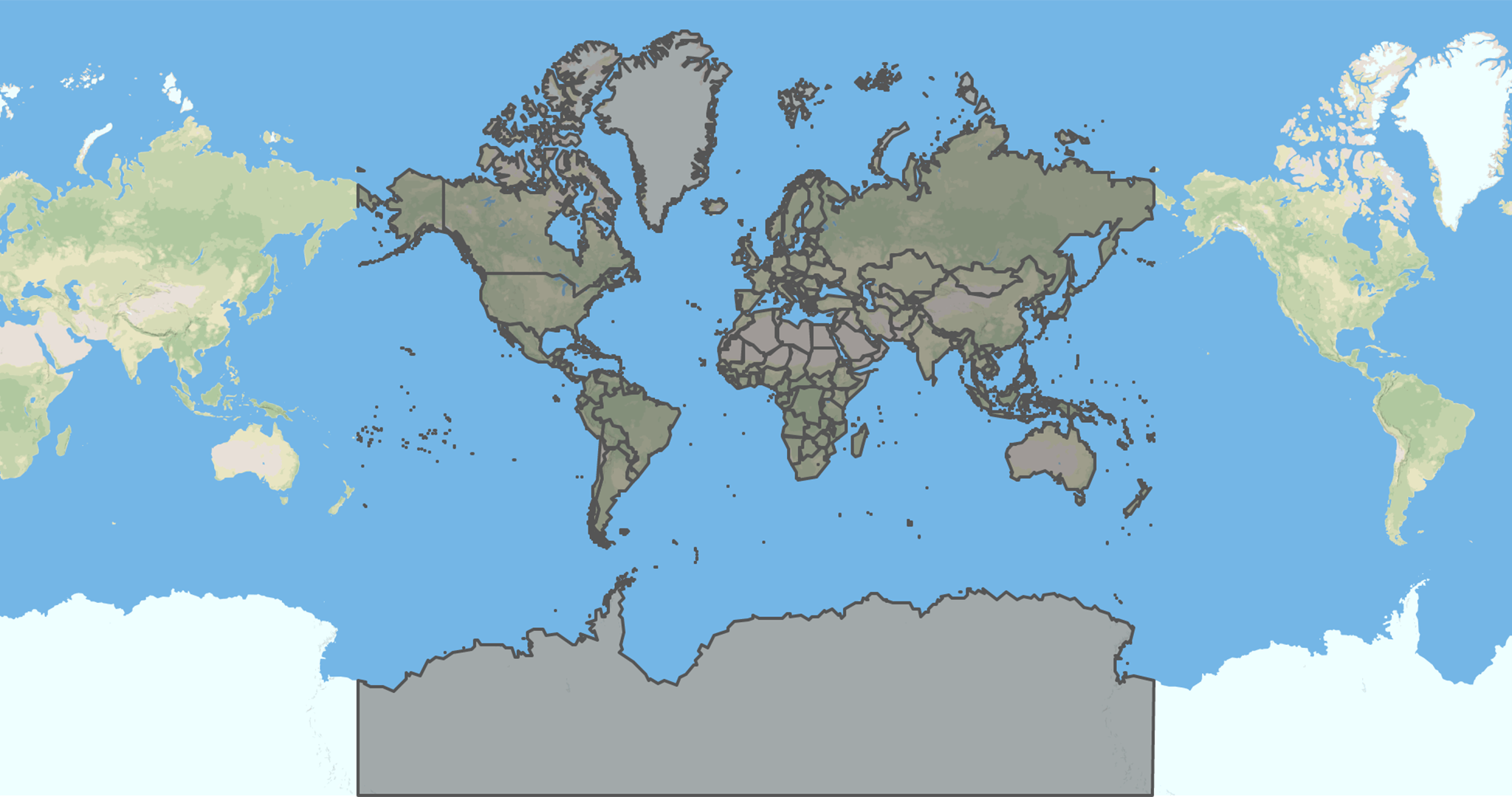


Please note that these examples show you the worst resolutions available (for speed reasons).
You can find more maps below.
The purpose of this project is to programmatically extract maps from open
databases like OpenStreetMap providing you
with a ready to use GeoJSON map that fits your needs.
Feel free to propose new kind of maps!
Do you believe that this is cool? If so, support us with a
Below you can find different kind of maps divided by type and exported with
different precisions.
Please note that for precision we mean the absolute error between the polygons
in the original map extracted from OSM and the ones we produce.
In case you are using these maps for some projects, let us know!
We will love to see what you have built!
To export these maps we retrieve the list of countries with osm-countries and for each country, we fetch its GeoJSON using
osm-geojson.
Then we collect all GeoJSONs in a single GeoJSON on which we apply the Visvalingam algorithm with different resolutions using mapshaper's simplify feature.
You can find the source code of the exportation process here.
Below you can find references to all the resolutions available for this kind of map.
Click on badges to interact with them.
| Resolution | Preview | Size | GH Downloads | NPM Downloads |
|---|---|---|---|---|
|
|
|

|

|

|
|
|
|

|

|

|
|
|
|

|

|

|
|
|
|

|

|

|
|
|
|

|

|

|
|
|
|

|

|

|
|
|
|

|

|

|
|
|
|

|

|

|
|
|
|

|

|

|
|
|
|

|

|

|
|
|
|

|

|

|
|
|
|

|

|

|
|
|
|

|

|

|
To export these maps we retrieve the list of countries with osm-countries and for each country, we fetch its GeoJSON using
osm-geojson.
Then we subtract from each country's GeoJSON the world-land's GeoJSON using the clip feature of mapshaper.
Finally we collect all GeoJSONs in a single GeoJSON on which we apply the Visvalingam algorithm with different resolutions using mapshaper's simplify feature.
You can find the source code of the exportation process here.
Below you can find references to all the resolutions available for this kind of map.
Click on badges to interact with them.
| Resolution | Preview | Size | GH Downloads | NPM Downloads |
|---|---|---|---|---|
|
|
|

|

|

|
|
|
|

|

|

|
|
|
|

|

|

|
|
|
|

|

|

|
|
|
|

|

|

|
|
|
|

|

|

|
|
|
|

|

|

|
|
|
|

|

|

|
|
|
|

|

|

|
|
|
|

|

|

|
|
|
|

|

|

|
|
|
|

|

|

|
|
|
|

|

|

|
To export these maps we first download the simplified shapefile of land polygons from the OpenStreetMapData page.
Then we project the shapefile to EPSG:4326 coordinates and export it to GeoJSON format using mapshaper project feature.
Finally we apply the Visvalingam algorithm on the GeoJSON with different resolutions using mapshaper's simplify feature.
You can find the source code of the exportation process here.
Below you can find references to all the resolutions available for this kind of map.
Click on badges to interact with them.
| Resolution | Preview | Size | GH Downloads | NPM Downloads |
|---|---|---|---|---|
|
|
|

|

|

|
|
|
|

|

|

|
|
|
|

|

|

|
|
|
|

|

|

|
|
|
|

|

|

|
|
|
|

|

|

|
|
|
|

|

|

|
|
|
|

|

|

|
|
|
|

|

|

|
|
|
|

|

|

|
|
|
|

|

|

|
|
|
|

|

|

|
|
|
|

|

|

|
If you need to convert maps in any of Shapefile, TopoJSON, CSV, SVG formats you can click on the preview badge of the map of your interest and use the mapshaper's web interface to export the map in the format of your need.
See also the list of contributors who participated in this project.
All data of this project is licensed under the Open Data Commons Public Domain Dedication and License as stated in OpenStreetMap License
All source code of this project is licensed under the MIT License - see the LICENSE file for details.